Community · Valley-wide
Pacific storms bring November rain back to Las Vegas, with a stronger system expected Thursday during Grand Prix week
Showers returned to the Las Vegas Valley overnight after a long dry stretch, and the National Weather Service expects a stronger storm Thursday with wider rain and snow in the Spring Mountains.
Listen to this brief · 4 min
Read aloud by an AI voice from the text below. Download MP3
What happened
Rain returned to Southern Nevada this week after an extended dry period, the Las Vegas Review-Journal reported. The National Weather Service said in a post on X that a series of Pacific storms is creating an "unsettled" week of weather for the valley.
The first showers arrived late Monday night in parts of the valley. Summerlin and Centennial Hills saw the most, according to the Review-Journal. A stronger system is expected by Thursday.
Tuesday's rain and temperatures
A second wave before dawn
Julie Phillipson, a meteorologist with the weather service, told the Review-Journal that another wave of rain should reach the valley between 3 and 4 a.m. She said showers could linger until about 9 a.m. before the skies clear.
A cooler-than-average day
The forecast high for Tuesday is 63 degrees, the Review-Journal reported. The average high for the date is 67 degrees.
Stronger storm expected Thursday
Timing lines up with Grand Prix week
The weather service said a stronger storm system should arrive by Thursday, as Las Vegas Grand Prix events reach full speed. Residents and visitors planning around race week can review the Strip road closures and transit changes and earlier coverage of storms and a cold snap during Grand Prix week.
Wider rain and mountain snow
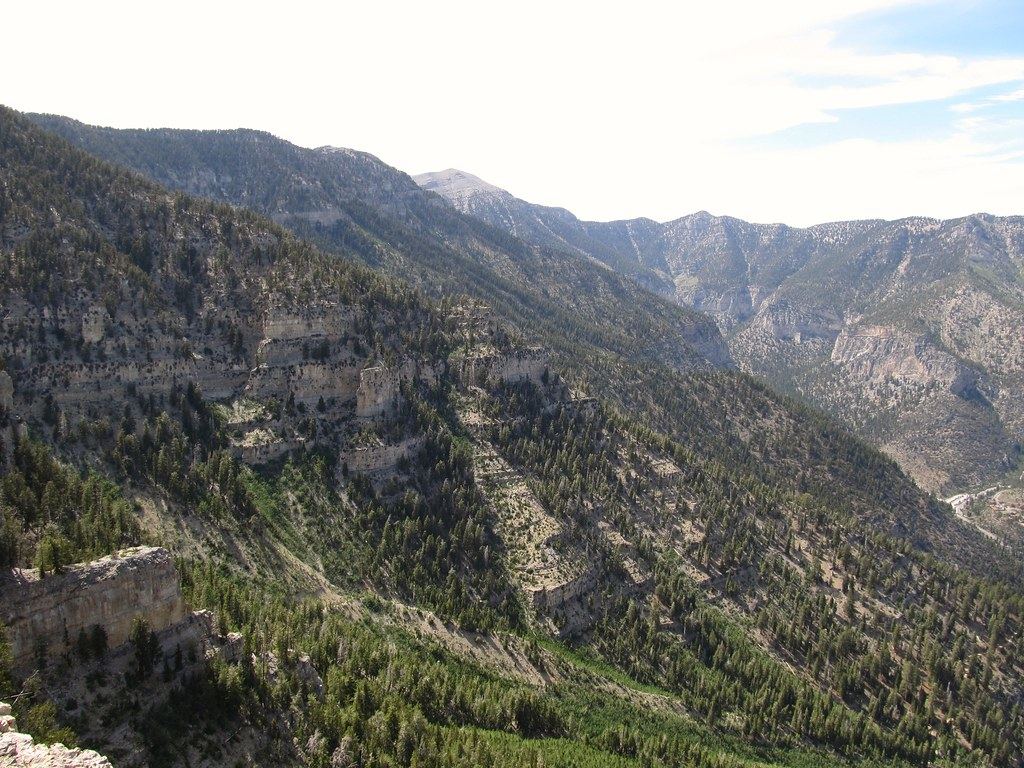
According to the weather service, the Thursday system brings greater chances of widespread rain across the valley. It also raises the chance of snow in the Spring Mountains.
Breezy weekend winds
The weather service said north winds will be breezy Friday and Saturday. Gusts are expected between 15 and 25 mph in the valley.
How this year's rainfall compares
Below average for 2026 so far
Harry Reid International Airport had recorded 0.14 inches of rain this month as of the Review-Journal's report, all of it on Nov. 1. The airport has recorded 2.44 inches so far in 2026. The average through mid-November is 3.57 inches, and the average for November alone is 1.34 inches.
A very wet October
October was a different story. Reid received 1.31 inches of rain last month, its second-wettest October on record, the Review-Journal reported. The average October rainfall is 0.32 inches.
Last November and the record books
The airport recorded 1.64 inches in November 2025, the fifth-wettest November since record-keeping began in 1937. That month was also the third-warmest November on record, with a median temperature of 61.7 degrees, or 4.5 degrees above normal.
The wettest November on record was in 1965, with 2.22 inches, according to the Review-Journal. In 2024, the airport recorded only a trace of rain in November.
What to watch next
- The stronger storm the National Weather Service expects by Thursday, with greater chances of widespread valley rain.
- Possible snow in the Spring Mountains with the Thursday system.
- Breezy north winds Friday and Saturday, with gusts of 15 to 25 mph, according to the weather service.
- Whether November rainfall at Harry Reid International Airport moves closer to the month's 1.34-inch average.