Community · Valley-wide
Two storm systems will bring rain, gusty winds and cooler highs to Las Vegas as the Grand Prix runs on the Strip
The National Weather Service in Las Vegas expects two storms this week, with Thursday rain chances of 40% to 45% in the valley and highs falling to 59 degrees Friday and Saturday as Formula 1 races on the Strip.
Listen to this brief · 5 min
Read aloud by an AI voice from the text below. Download MP3
What happened
Two storm systems are expected to move through Southern Nevada, northwest Arizona and southeastern California this week, bringing rain, gusty winds and cooler temperatures, according to the National Weather Service in Las Vegas. The Las Vegas Sun reported that the unsettled stretch lines up with the Formula 1 Heineken Las Vegas Grand Prix, which runs Thursday through Saturday on the Strip.
In a Monday briefing on the Nov. 16-22 outlook, NWS Las Vegas meteorologist Chris Outler said an active pattern will push temperatures below seasonal averages by midweek. Highs in the Las Vegas Valley are expected to drop roughly 10 degrees by the weekend, the Sun reported.
Two storms, two different hazards
Monday night into Tuesday: wind
The first system is forecast to bring showers and gusty winds to much of the region from late Monday into Tuesday. The heaviest precipitation and light snow are expected in the southern Great Basin and eastern Sierra, while strong wind is the main hazard in the deserts, according to the weather service.
Gusts in the western Las Vegas Valley could reach 40 mph. Around Barstow, Calif., and the western Mojave Desert, gusts between 40 and 50 mph are forecast Tuesday, and Kingman, Ariz., and Lake Havasu City face rain showers with gusts between 35 and 38 mph, the Sun reported.
Thursday: rain in the valley, snow in the mountains
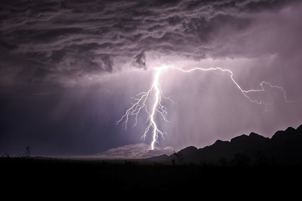
After a short break across the deserts Wednesday, a second storm is expected Thursday. The outlook lists a minor risk of rain and wind in the Las Vegas Valley that day, with a 40% to 45% chance of rain, plus a minor risk of accumulating snow in the Spring Mountains.
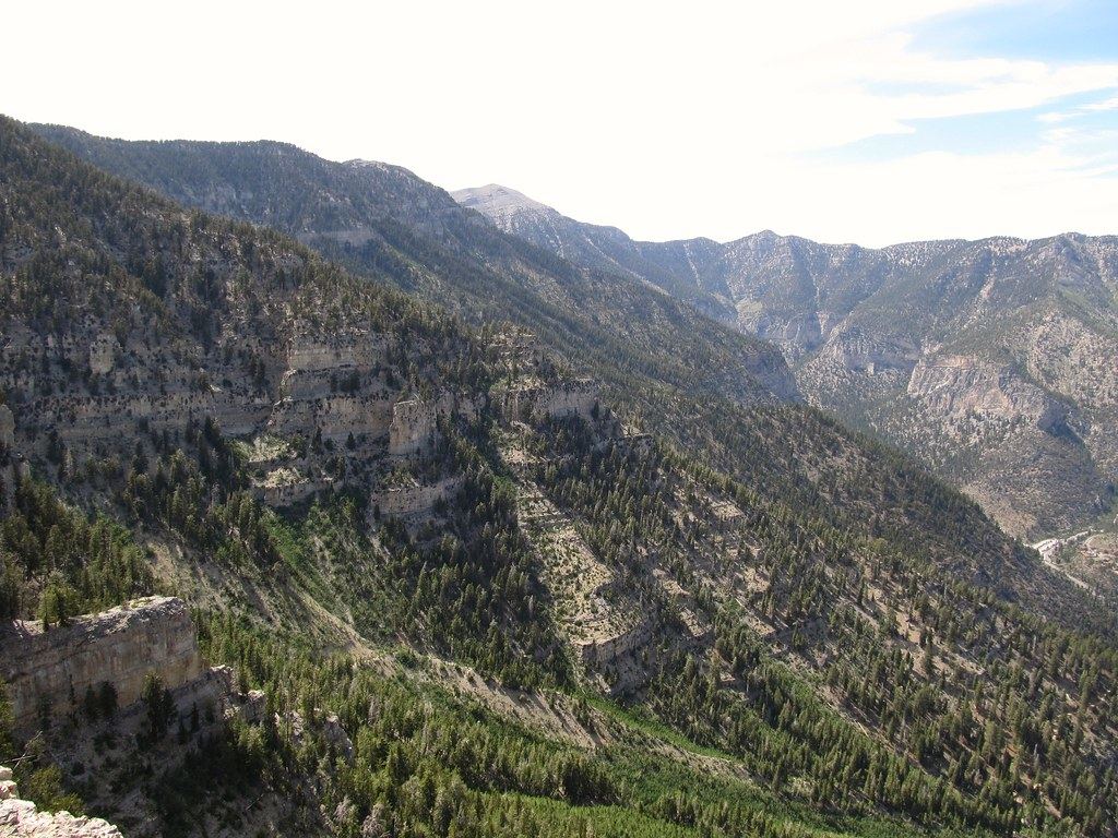
Heavy snow is expected to start early Wednesday in the eastern Sierra, where more than a foot could fall above 5,000 feet before the system spreads into Southern Nevada Thursday. Rain and higher-elevation snow are also forecast for Kingman, the Colorado River Valley, and California's Inyo and San Bernardino counties.
What it could mean for the Grand Prix
The weather service's weekly briefing did not specifically address the race, but the Sun reported that the forecast points to better track conditions after opening day. Thursday's first practice at 4:30 p.m. and second practice later that evening overlap with Clark County's highest rain chances of the week.
Drier weather is expected by Friday, which the Sun said would leave the track dry for 8 p.m. qualifying and Saturday's 8 p.m. 50-lap race. Drivers and spectators will contend with chilly evenings with temperatures dipping into the 40s, and F1 notes the schedule is subject to change. Travelers can also check our earlier report on Harry Reid flights heading into race week.
How cold it will get
Las Vegas and Mount Charleston
Daytime highs in Las Vegas are forecast to slide from 69 degrees Monday to 61 Thursday, then bottom out at 59 degrees Friday and Saturday before reaching 61 Sunday. At Mount Charleston, highs are expected to fall from 46 degrees Monday to 33 degrees Friday, with overnight lows in the upper 20s, according to the Sun.
First freezes possible in outlying areas
Colder air behind the Thursday storm could bring the season's first freezes Saturday morning to parts of northwest Clark County, where Indian Springs is forecast to hit 33 degrees, and to northern Mohave County, Ariz., where Colorado City is expected to drop to 32 degrees. Nearby Pahrump, in Nye County, is forecast to reach a low of 34 degrees Saturday morning, and Outler noted that rural areas outside the metro core could drop even lower.
Elsewhere in the region, highs are forecast to cool by Friday from 66 to 52 in Kingman and from 67 to 58 in Barstow, the Sun reported.
What to watch next
- Wind gusts that could reach 40 mph in the western Las Vegas Valley on Tuesday as the first storm passes.
- Thursday's 40% to 45% chance of rain in the valley, which overlaps with the Grand Prix's opening practice sessions.
- Possible first freezes Saturday morning in parts of northwest Clark County, including Indian Springs, and in northern Mohave County, Ariz.
- Any changes to the Grand Prix schedule, which F1 says is subject to change.