Nation · National
Hurricane Isaias, the First Atlantic Hurricane of 2026, Nears Landfall on the Northern Gulf Coast
Isaias, a Category 2 storm near major hurricane strength, is expected to come ashore Friday night or early Saturday between Mississippi and the Florida Panhandle, bringing storm surge, flooding rain and tornado risk.
Listen to this brief · 6 min
Read aloud by an AI voice from the text below. Download MP3
What happened
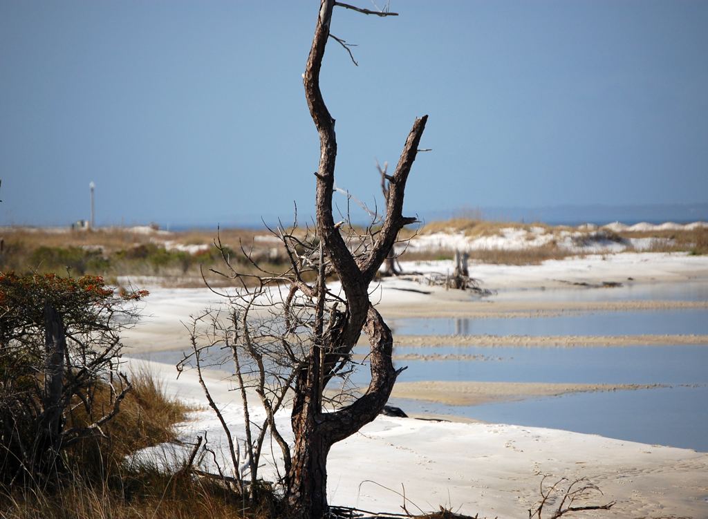
Hurricane Isaias, the first hurricane of the 2026 Atlantic season, was moving toward the northern Gulf Coast on Friday, threatening parts of Mississippi, Alabama and the western Florida Panhandle, CBS News reported. The National Hurricane Center listed maximum sustained winds of 110 miles per hour, a Category 2 storm only 1 mph short of Category 3, or major hurricane, status. According to CBS, the center said that increase was likely Friday morning.
National Hurricane Center Director Michael Brennan told PBS NewsHour that the storm had strengthened quickly and that weakening was expected as it approached the coast. He said the exact landfall point and category matter less than the dangers it brings. "I think the hazards are largely baked at this point," Brennan said, citing storm surge, rain, flooding and strong winds that could cause long-duration power outages.
Where and when landfall is expected
The hurricane center said Isaias would make landfall within the warning area Friday night or early Saturday and would remain dangerous despite slight weakening, CBS reported. Early Friday, its core was about 200 miles south-southeast of the mouth of the Mississippi River, moving north-northeast at 24 mph. Hurricane-force winds reached up to 30 miles from the center, and tropical storm-force winds up to 185 miles.
ABC News reported landfall was expected between 8 p.m. and 10 p.m. Friday within 40 miles east or west of Pensacola, possibly between Pensacola and Destin. Because the worst conditions are expected near and east of the center, the stretch from Pensacola to Panama City could take the hardest hit, according to ABC.
Warnings in effect
A hurricane warning covered the coast from Ocean Springs, Mississippi, to the Bay/Gulf County Line in Florida, CBS reported, and a storm surge warning ran from the mouth of the Mississippi River to the Suwannee River. ABC reported gusts of 75 to 110 mph were possible in the hurricane warning area. A tropical storm watch stretched inland to Birmingham and Tuscaloosa, Alabama, Albany, Georgia, and Hattiesburg, Mississippi, with gusts up to 55 mph possible.
Storm surge, rain and tornadoes
ABC reported storm surge of 5 to 7 feet was possible from Dauphin Island and Gulf Shores, Alabama, to Port St. Joe, Florida, and 4 to 6 feet in Biloxi, Gulfport and Bay St. Louis, Mississippi, where waves could reach up to 30 feet in some places. Forecasters called for 4 to 8 inches of rain, with up to 15 inches in some spots across southern Alabama, the Florida Panhandle and Florida's Big Bend. ABC said flash, urban and river flooding were likely.
The hurricane center told CBS that a tornado risk would begin late Friday afternoon in coastal Alabama, the Florida Panhandle and far southwest Georgia. That threat was expected to continue Saturday across parts of eastern Alabama, the Panhandle, Georgia and the Carolinas.
Evacuations and emergency declarations
Florida
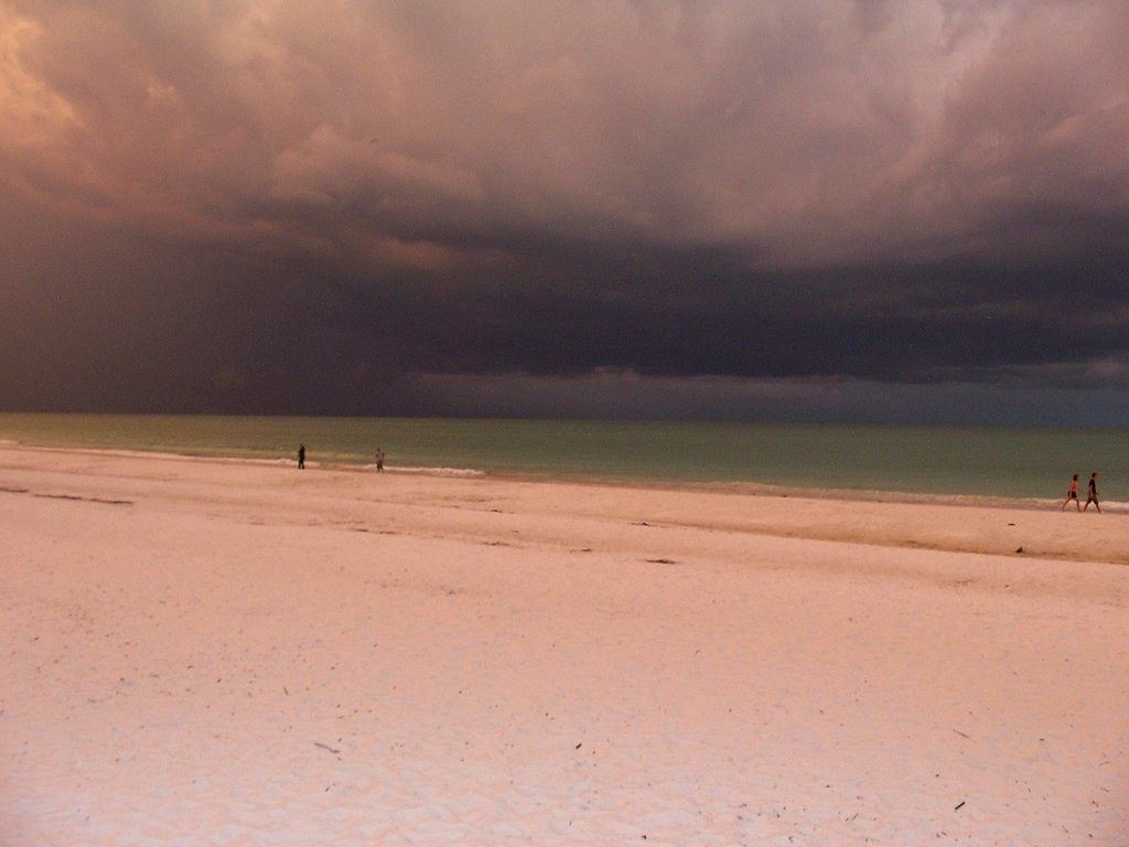
Evacuations were ordered in parts of Okaloosa and Walton counties in the Panhandle, CBS reported. Florida Gov. Ron DeSantis declared a state of emergency for more than two dozen counties and warned about twisters far from the storm's center. "Even if you're way outside the cone, you could still have tornado risks," DeSantis said, according to CBS.
Alabama and Georgia
Alabama Gov. Kay Ivey declared a state of emergency for 40 counties and said government buildings would close Friday in nine counties, CBS reported. Gulf Shores officials urged non-residents to leave. Dauphin Island Mayor Jeff Collier told CBS that people often "don't actually take any action until it's much too late." Georgia Gov. Brian Kemp also declared a state of emergency, and the U.S. Coast Guard urged seafarers near the Gulf to stay alert.
A historically late first hurricane
Isaias became a hurricane on Wednesday, the latest date in 121 years for the Atlantic season's first hurricane, just missing a record set on Oct. 8, 1905, according to NOAA data cited by CBS. Meteorologists attribute the quiet season largely to a strong El Niño, CBS reported. An average season produces 14 named storms, seven hurricanes and three major hurricanes.
ABC News noted the last hurricane to make landfall in the United States was Milton, which came ashore near Siesta Key, Florida, on Oct. 9, 2024. In 2025, the country had its first year in a decade without a hurricane landfall, according to ABC.
What to watch next
- Whether Isaias reaches Category 3 before the expected slight weakening ahead of landfall Friday night or early Saturday.
- The tornado threat forecast to continue Saturday across eastern Alabama, the Florida Panhandle, Georgia and the Carolinas.
- Flash, urban and river flooding, plus power outages that ABC reported could last an extended period, especially in the Panhandle.
- The rest of the Atlantic hurricane season, which runs through Nov. 30.