Community · Valley-wide
Rare storm drops golf ball-sized hail on Arizona as the Las Vegas Valley expects light rain Thursday
A rare storm hit northern and central Arizona with 2-to-3-inch hail, downed trees and the state's first tornado watches since 2010. Forecasters expect the Las Vegas Valley to get less than 0.25 inches of rain Thursday.
Listen to this brief · 4 min
Read aloud by an AI voice from the text below. Download MP3
What happened
A rare storm moved through northern and central Arizona overnight Tuesday and into Wednesday, bringing hail the size of golf balls and damaging wind gusts, the Las Vegas Review-Journal reported. Southern Nevada is expected to see some showers Thursday from a storm coming from the Pacific Ocean, according to the National Weather Service in Las Vegas.
The National Weather Service issued multiple warnings as the severe thunderstorms crossed Arizona, urging people to take shelter and stay away from windows. According to the Review-Journal, hail measuring 2 to 3 inches struck the area, damaging roofs, breaking windows and denting cars.
Damage and warnings in Arizona
First tornado watches since 2010
Tornado watches were issued for multiple areas of Arizona, the first the state has seen since Oct. 6, 2010, the Review-Journal reported. The storm also carried a risk of flash flooding.
Ryan Bernhart, a National Weather Service meteorologist in Flagstaff, said warm, moist air moving north feeds storms coming off the California coast, and shifting winds can cause them to rotate, setting up conditions for tornadoes. "This is very unusual for this area at this time of the year," Bernhart told the Review-Journal.
Trees toppled in Flagstaff and Mesa
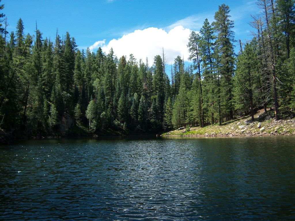
Strong winds knocked over trees in Flagstaff and Mesa, with some falling onto walls and carports. In the Coconino National Forest, northwest of Flagstaff, a few dozen ponderosa pines taller than 30 feet came down, according to the report.
"These are not small trees that are down," Bernhart said. He added that the downed pines had been strong trees before the storm knocked them over.
Flash flood concerns for Phoenix
For the Phoenix metro area, the biggest threat is heavy rain and flash flooding Wednesday night and Thursday morning, said Mark O'Malley, a meteorologist at the National Weather Service office in Phoenix. The weather service also said a strong storm coming from the Pacific is bringing a "surge of moisture" into the Southwest on Wednesday and Thursday.
What the Las Vegas Valley can expect
Southern Nevada should see some showers Thursday, the Review-Journal reported. Sam Meltzer, a meteorologist at the National Weather Service in Las Vegas, said the valley is forecast to get less than 0.25 inches of rain from a storm coming from the Pacific Ocean.
Timing on Thursday
According to Meltzer, the valley should begin feeling the storm after sunrise Thursday, when the chance of rain is 70 percent. That chance drops to 50 percent by the afternoon, and skies are expected to clear by evening. Residents can find more on the local outlook in our earlier forecast for more showers in the valley.
Recent rain in the valley
The Thursday showers are expected less than two weeks after the remnants of Tropical Storm Rachel brought record-setting rainfall to the Las Vegas Valley, the Review-Journal noted. For other neighborhood updates and local news, see our community section.
What to watch next
- Rain chances in the Las Vegas Valley Thursday, forecast at 70 percent after sunrise and 50 percent by afternoon, according to the National Weather Service in Las Vegas.
- Skies in the valley are expected to clear by Thursday evening, according to Meltzer.
- Heavy rain and possible flash flooding in the Phoenix metro area Wednesday night and Thursday morning, as forecast by the weather service in Phoenix.